How to
How to use RESCORE ?
For any questions or comments on the use of RESCORE, please use this form.
Video tutorials
Online help
Access to the data catalog
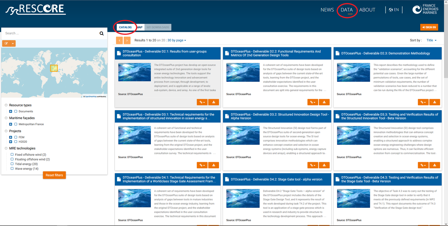
The metadata catalog is accessed via the "DATA" tab or via the shortcut on the home page.
The catalog is a set of metadata sheets that describe the data and in some cases can provide access to view or download that data. This catalog is based on the Sextant platform, developed by Ifremer, which works with the Geonetwork software and is available in French and English.
All the metadata available in the RESCORE catalog has been drafted in such a way as to be compatible with ISO 19139 and ISO 19115 standards. These metadata also comply with the requirements of the European Directive INSPIRE (Source: https://sextant.ifremer.fr).
Data search
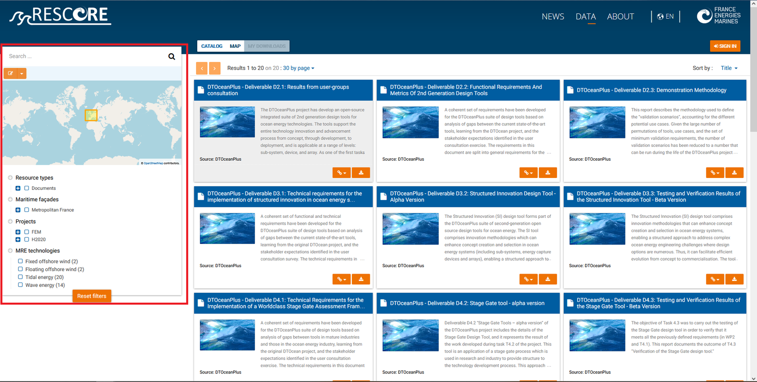
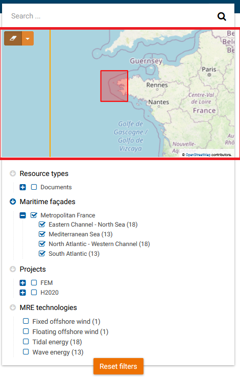
The search tool is located on the left of the catalog (see image below). The user has the choice between 3 search modes: free search, search by geographic area, and search by specific content.
1/ Free search
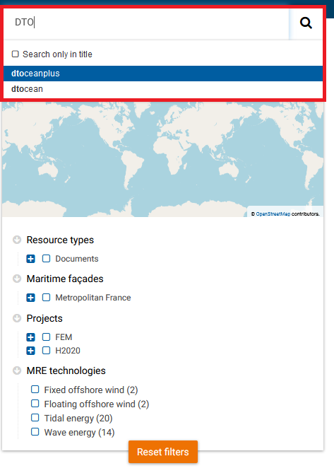
The user writes the search word in the free field at the top of the search tool. The free search tool works in auto-completion mode and offers a list of existing words in the metadata files.
2/ Search by geographic area
The user has the possibility to select his area of interest in the “map” block in the middle of the search tool (click on the "Draw an extent" button then specify whether the search must be "within" this extent or "intersects with" this extent).
Only metadata records located in the selected geographic area will appear in the catalog.
3/ Search by specific content
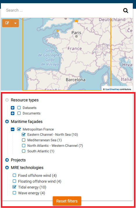
The user selects, in the lower part of the search tool, his search criteria among those proposed by RESCORE: the type of resource (datasets, documents, etc.), the maritime façade concerned, the type of project (H2020 or FEM) as well as the name of the project, and finally the type of technology concerned (wave energy, floating offshore wind, etc.).
The number of concerned metadata records is displayed dynamically and only the metadata records that meet the different search criteria are displayed in the catalog.
View, download and link to data
Depending on the rights associated with the different metadata records, several buttons are available at the bottom of each record. The functionality of these buttons is displayed on mouse over. These different functions are:
- "Relations": family links with the other metadata files present in the catalog;
- "Links": hypertext links to web resources (such as the project web page);
- "View": allows you to view the data (see below);
- "Download": allows you to directly download the data or to have access to a data access form.
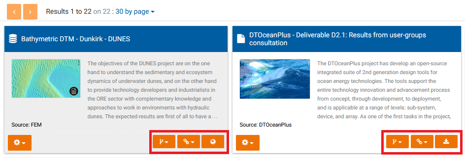
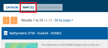
By clicking on the "view" icon (in the form of the Earth), the data is added to the "Map" tool. Several data can be added to the Map before going to view them.
To view this(these) data(s), click on the "MAP" tab above the results.
The Map tool
An interactive map is available on the RESCORE platform, still under the "DATA" tab. This map makes it possible to visualize and manipulate georeferenced data.
The data to be displayed are accessible:
- either via the catalog and the "View" button, as explained previously;
- or via the WMS (Web Map Service) visualization protocol, which makes it possible to display remote layers hosted on other geographic servers.
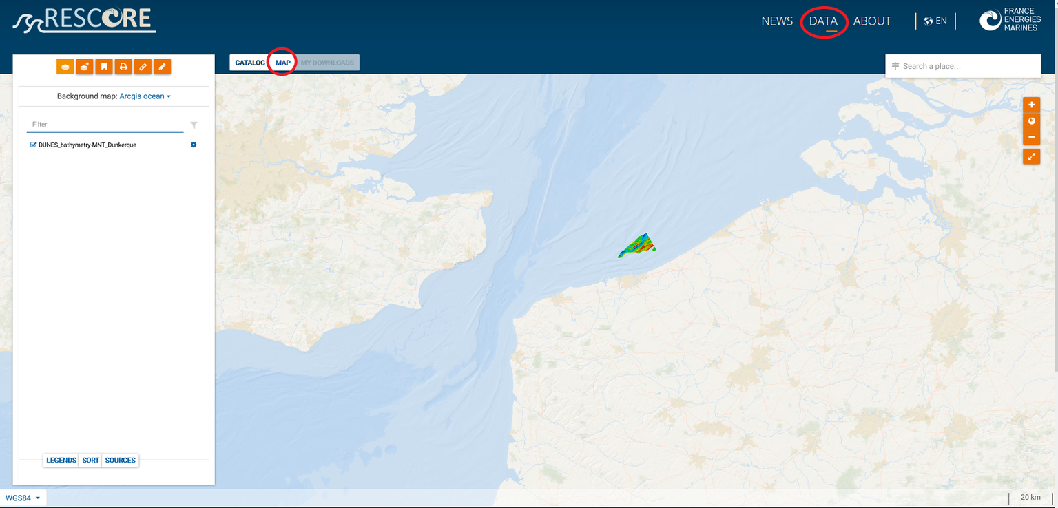
When the mouse cursor passes over the map, the geographic coordinates are displayed at the bottom left of the map. In addition, a graphic and numerical scale is available at the bottom right of the map.
1/ The map toolbar
The toolbar at the top left of the Map tool allows the user to, respectively (from left to right): manage the different data layers, add remote data, manage their map, print their map , take measurements on his map and finally, add annotations to his map.

2/ The advanced parameters of the layers
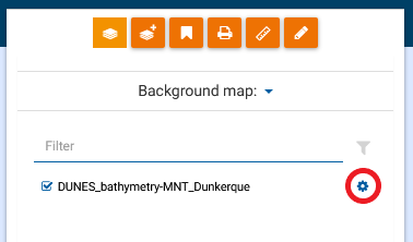
Each data layer is associated with a button (in the form of a toothed wheel) allowing access to several functionalities: zooming on the spatial extent of the layer, transparency of the layer, deletion of the layer, etc.
